Research, Reports, & Resources

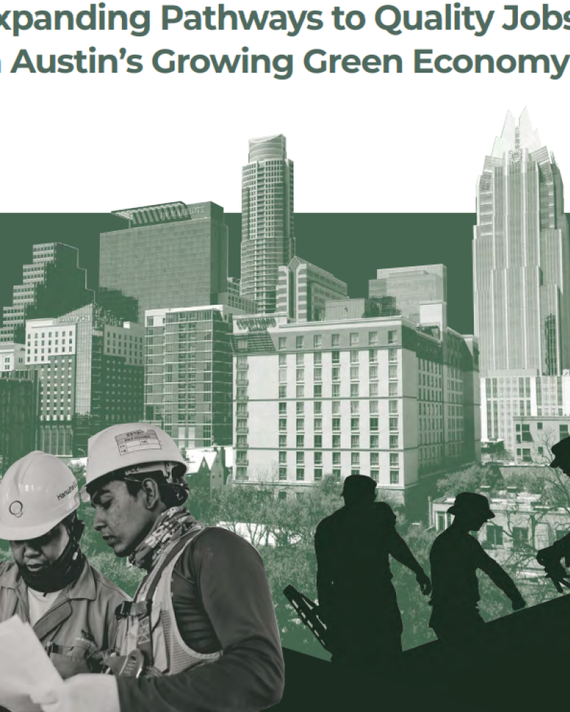
Expanding Pathways to Quality Jobs in Austin’s Growing Green Economy
A faculty and student team from the Community and Regional Planning program at The University of Texas at Austin produced the Expanding Pathways to Quality Green Jobs in Austin’s Growing Green Economy report for the City of Austin. The report analyzes the growth of economic activity and employment associated with improving environmental outcomes – the green economy and green jobs. Contrary to the view the that strong environmental actions suppress employment growth, the report shows that jobs directed to improving environmental outcomes have grown significantly faster than overall employment both nationally and in the Austin region. It is estimated that green job growth in the Austin Metropolitan Statistical Area equaled over 19,500 net jobs over the 2010-2019 period as the green job share of total regional employment grew from 3.3% in 2010 to 4.18% in 2019. The report also estimates that future green job growth in Travis County will be robust through 2028.

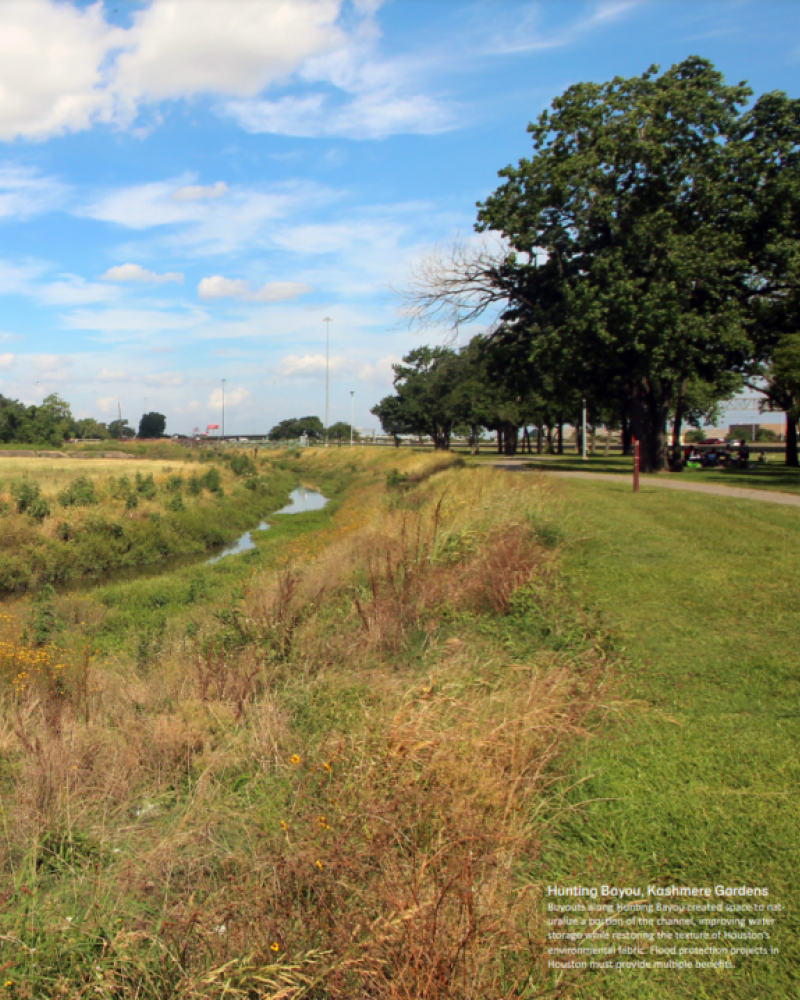
Drowning in Disinvestment: Addressing inequities in stormwater infrastructure in Houston, Texas
CRP graduate students in Professor Mueller’s Practicum course this spring worked on three projects developed in collaboration with Texas Housers all aimed at addressing inequities in stormwater infrastructure in Houston, Texas. We are pleased to share the results of their work here.

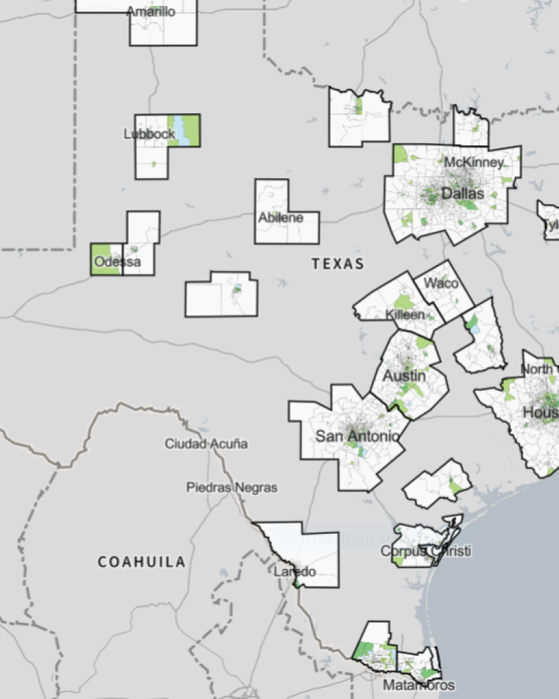
Neighborhood Vulnerability and Displacement Risks in Texas Metropolitan Regions
This work presents an analysis of patterns of vulnerability and neighborhood change in the 25 metropolitan regions (MSAs) in Texas. The mapping tool in this report allows users to examine patterns of neighborhood change in Texas metros over the 2000-2018 period. The maps in this report portray important socio-demographic characteristics and patterns of change at the census tract level.
The first key measure developed is a vulnerability index for each census tract in the Texas MSAs. The vulnerability index registers demographic and socioeconomic factors in a neighborhood (census tract) that may make it more vulnerable to a range of factors including displacement due to rising housing costs, environmental shocks (such as flooding) and public health challenges (such as COVID-19).
We further develop a framework that attempts to measure the displacement risk (or gentrification pressures) that residents in urban census tracts might face across the 25 Texas metros. To conduct this analysis we analyzed patterns of demographic and housing cost change over the 2000-2018 period.
The analytic framework and maps in this report aim to provide policy makers and community members with useful information on patterns of vulnerability and possible displacement risks in their metro areas based on secondary data. It is important to note that these patterns need to be checked in light of specific contexts and local knowledge in each metro and local jurisdiction.
Revisiting Urban Expansion in the Continental US
This analysis of all US metros finds a major reduction in land consumed for urban expansion since 2000. The pattern is consistent across the continental US, though large regional disparities remain. Nearly all the reduction occurs in metro regions, with 87% of metro population growth occuring in those with declining expansion rates. Several possible explanations are discussed, but the findings suggest metro regions are complex, with the ability to change rapidly across decades.
CITIES paper on Urban Governance for Resilience
The concept of urban resilience, particularly through a systems framework, has advanced tremendously over the past decade. Relatedly, collaborative and network governance is increasingly considered essential for the sustainability of urban social-ecological-technical systems. However, empirical evidence explicitly linking metropolitan networks to resilience planning and implementation is sparse. We address this gap by researching a network of organizations pursuing resilience strategies within and across two major metropolitan areas in Texas – Austin and San Antonio. Utilizing a mixed-methods approach that includes qualitative and social network analysis (descriptive and exponential random graph modeling), we examine the factors that drive network formation around blue-green infrastructure in the study area. The planning and implementation of general resilience strategies across metropolitan jurisdictional boundaries is dependent upon the social infrastructure available for governance (i.e., the relationships among organizations engaged in resilience building activities). Our findings demonstrate the tendency for network closure as a key governance feature for resilience implementation. Providing urban policy-makers and planners with information about why networks form can facilitate implementation of blue-green infrastructure in this rapidly growing, climate change impacted region and beyond. Applying a network paradigm provides insights to build general resilience for adaptation and transformation in metropolitan systems.

Austin Climate Vulnerability Report
Climate and community resilience refers to a set of indicators to assess the risks that certain climate-related hazards pose, how those risks are spatially and socially distributed, and how households, neighborhoods and cities can build resilience. Climate-related hazards – flood, wildfire, extreme heat, among others – causes damage and loss to property, infrastructure, livelihoods, service provision and environmental resources. Some communities are disproportionately exposed to and affected by climate hazards more than others based on social vulnerability. We present a multi-risk assessment that considers how hazard risk and vulnerability interact. We first assess social vulnerability and each risk separately (considering for each hazard a specific analysis of exposure and vulnerability) and then the aggregation allows a multi-risk index evaluation.
Social Vulnerability in Texas: Implications for Resilience, Equity, and Climate Policy
Our interest in social vulnerability is to provide data and information that decision makers can use to consider vulnerability and advance resilience across the state of Texas. The information provided can be useful to urban policy-makers at the municipal, county, or regional planning authority level, or from the perspective of the state as a whole.
TMO Conceptual Model
An Observatory Framework for Metropolitan Change: Understanding Urban Social–Ecological–Technical Systems in Texas and Beyond
People, Land, and Water
TMO has brought together several data sets into our first report on metropolitan Texas, People, Land, and Water: Stories of Metropolitan Growth. In People, we analyze socio-demographic trends on diversity, education, poverty, and more, revealing several trends about the people of metropolitan Texas. In Land, the physical expansion of metros is analyzed against population growth, density, and imperviousness, finding that growth is both more efficient and increasingly intense. In Water, consumption patterns are examined by source and end-use, finding decreasing water use per capita; however, increasing population growth will outpace efficiency improvements.